Since 2008 I have been involved in extensive research and development into the use of open source GIS software for archaeology in a move away from proprietary software.
Open source GIS packages used are extremely powerful and replace proprietary software, such as ArcGIS, on all levels.
My favourite GIS packages are:
I have also done a large amount of 3D modelling, visualisation and analysis using open source GIS software. For this purpose, I frequently use:
Inkscape is a fantastic and extremely powerful open source illustration package, which I often use to produce line-drawings or to touch up maps exported from GIS in PDF or SVG formats.
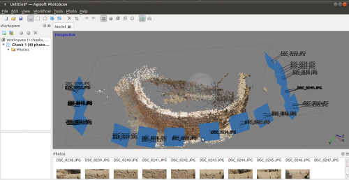
 Furthermore, I regularly work with photogrammetry software such as Agisoft Metashape, which admittedly is not open source, but highly powerful at producing 3D models from overlapping images.
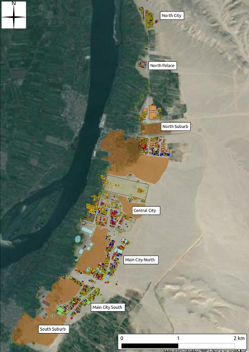
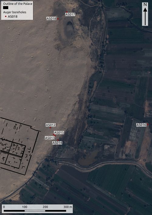
Open source GIS software also played a major role in my PhD research and I also used it to maintain the GIS data for the Gurob Harem Palace Project.
Documentation

Back in the 2010s, as part of our daily active use of, and research into, open source GIS methods, my former colleagues at Oxford Archaeology and I produced documentation o the following topics: the use of open source GIS, archaeological survey, the download and processing of survey data, the application of open source illustration software Inkscape, and the use of open source database software PostgreSQL, together with PostGIS.
Although somewhat outdated, the documentation may still be of use to some. All documentation is available for free online:
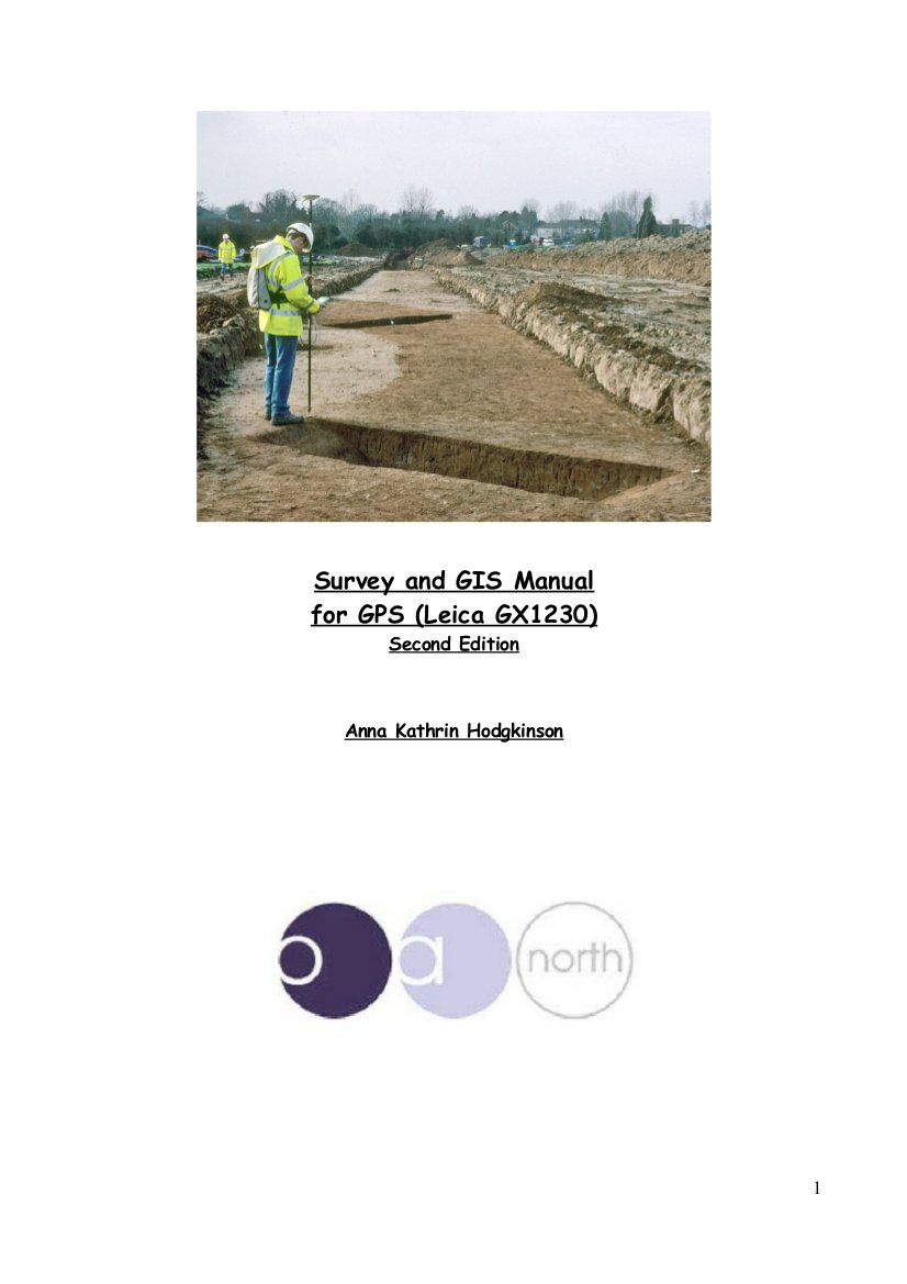
- Hodgkinson, A.K. 2010. Open Source Survey & GIS Manual. Documentation. Oxford Archaeology North. Download
- Robinson, C., Campbell, D and Hodgkinson, A.K. 2010. Archaeological maps from qGIS and Inkscape: A brief guide. Documentation. Oxford Archaeology North. Download
- Hodgkinson, A.K. 2011. Using the Helmert (two-point) transformation in Quantum GIS. Documentation. Oxford Archaeological Unit Ltd. Download
- Hodgkinson, A.K. 2011. Download of the Leica 700 and 800 series Total Station. Documentation. Oxford Archaeological Unit Ltd. Download
- Hodgkinson, A.K. 2011. 3D Visualisation and Analysis of archaeological vector and raster data using open source geospatial software. Documentation. Oxford Archaeological Unit Ltd. Download
Documentation by colleagues
- Robinson, Christina (2011) QGIS Handy Hints. Documentation. Oxford Archaeological Unit Ltd. Download
- Robinson, Christina (2011) Basic introduction into pgAdmin III and SQL queries. Documentation. Oxford Archaeological Unit Ltd. Download
Case-studies
- OSGeo UK: Hodgkinson, A.K. 2011 GvSIG as a first choice open source GIS tool for archaeological data processing, visualisation and analysis: Oxford Archaeology.
- ELOGeo Nottingham: Hodgkinson, A.K. 2011 gvSIG for Archaeologists: Open source GIS for archaeological data processing, visualisation and analysis.


